After waking up, packing up, and doing some picnic table yoga which is as silly looking as it sounds, but invented for the sake of my back by my brain none-too-soon, I was surprised to be briefly interrupted by other actual humans stopping by to use the campground toilet. From there I breezed into Paonia town about 15 miles further on and had a huge blunch of steak and eggs with orange juice, coffee, and strudel. I tried to post the previous entry with their wifi, but it had too poor an internet connection, so I ended up posting it using WiFi from outside a place called Taco Hut in the next town, Hotchkiss. I did not patronize them, but I hereby officially endorse them in compensation for my unsanctioned use of their WiFi.

Hotchkiss is where I should have grocery shopped, because when I went to the grocery store in Paonia, I got $20 worth of food fuel for about $40. On the way out of town, I passed a solar power training facility and popped in for a quick tour. The director says that they train about 1/3 of the nations certified PV panel installation technicians, and that she saw me on her way into town and figured I was probably one of her several students due to show up today. She also confirmed my mistake of grocery shopping in Paonia and not Hotchkiss.


I kept catching great views of the Rockies, like this one, in my rearview.

A lot of highway riding ensued, but with a nice wide shoulder so that I could lean on elbows, let head slump down, or put chin in palm of hand, and zone out to whatever podcast. I came as close as I ever have to falling asleep at the handlebars (not very, but you get the idea).

When I got to the town of Delta, I had to make a choice between the route implied by the paper state-wide map of bicycle routes provided by the Colorado Department of Transportation, and the route recommended by Google Maps. I stopped into a sleepy looking liquor store to ask the proprietor, and he was a fantastic help. He had a CO state atlas and we reviewed the options for getting to Moab, and shared a bunch of laughs and jokes. Going the DoT route would mean taking highway 50 up to Grand Junction. Lots of highway, but lots of support. Going the GM route would mean a lot of unpaved road and few services until Moab. But definitely no snow…or so he thought. I’d had my fill of highway and pavement for a while, and was now carrying 3.5 liters of water and a reasonable amount of food, so opted for the latter.
Delta was a kinda eerie town. Fairly big, with lots of cars driving up and down main street at 5:30pm on a Sunday, but very few parked in the ample parking spaces, and I spotted maybe 3 non-car’d humans in the 8 blocks of town.
As I got out of town into the surrounding farming valley, I had my second big pick up truck of the day, and ever in my life, lay out a cloud of black exhaust as it accelerated past me. I’ve seen the youtube videos, I know it’s a thing, and that it’s intentional, but I’ll take it over loud honk and near clipping any day. Anyways, joke’s on them: I can hold my breath for a few seconds, while they have to live with the metaphor of their being.


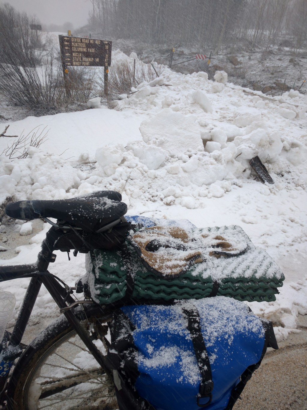
I got just a little ways into the Dominguez-Escalante National Conservation Area when I decided to pull off and tuck away, hidden in plain sight.


The next morning, I finished up the above before packing up.

Surprisingly, I had LTE cellular signal, at least when phone was 4 or more feet from the ground. I tried to post using that, but it failed.
I packed up and set out. The elevation profile for the day was a 30 mile ascent from 5K to 9K feet, and then a 20 mile descent back down to 5K. A very gradual ascent that would have been pretty easy were it not for strong and consistent headwinds. Going was really slow, and while it was kinda monotonous scenery, it was definitely prettier than the day before, and from start of the day until I got into the town of Nucla (4 miles before Naturita) I encountered only 4 vehicles, one of which was an ATV loaded up with antlers.

When I was about 3 miles from the pass (or I should say, crest, since it’s a mesa and it’s not really a saddle point, but a local maxima), I hit my first patch of slushy snow with a slick ice base that spanned the road and necessitated a dismount.
I was off and on the bike for about another half mile, and then the snow/slush/ice cover was frequent enough that mounting the bike was a losing net energy proposition. Not to mention, after pedalling against headwinds for 4 hours at close to or in my lowest gear, I was fine with an excuse to use some walking muscles instead for a while.


Blue skies started peeking out when I got to the crest, and I was optimistic that I’d have a repeat of my descent from McClure pass.
Instead, I got a repeat of my ascent, hail and lightening. It was more tiny frozen snowballs that started out the size of BBs, grew to mini-pea, then regular-pea, and then tapioca ball. But they were not as dense as ice, and the wind wasn’t whipping them about so much, so they didn’t really hurt. But my close call with lightening this time was a bit more terrifying. It was a vertical bolt that I only caught the bottom of. I heard the sizzle of the electrons in addition to a truly deafening bolt that would frighten anyone to their core, as it did me. This time, there wasn’t a single locus of lightening, but it was happening both in the distance, and nearby, concurrently. So again, I put the bike down, got low, and waited it out.
After a few minutes, the hail let up as abruptly as it started. A light sprinkling of rain followed, though not enough to warrant getting the rain shell out, so I got on the bike and continued my descent. The aforementioned ATV with lots of antlers passed me and the driver seemed to have his head ducked down as if a couple of inches might make the difference between getting struck by lightening or not.
I considered bedding down before town, and leaving civilization for breakfast, but the wind was picking up and there was some indication that it would be a cold wet one. I also knew there were motels in Naturita, and after such a long slog, and with feet still wet and cold, I had all but resolved to splurge on a room for the night.
The staff at the Rimrock Inn were great, and set me up in a hostel style room at a reduced rate. I was the only guest in the entire hostel portion of the Inn, so I had the lounge and bath facilities all to myself, and hostel does not imply dormitory, at least in these parts, so my bed was in its own room. There weren’t any sit-down restaurants, open or closed, (just Blondie’s drive-in) that I could find, so I went to the grocery store, got a frozen Marie Callender’s chicken pot pie, a couple of frozen burritos, a snickers, and a clif bar, and devoured them all greedily (I guess I forgot to mention, I ran out of food shortly before the summit). That was in addition to the two “welcome cookies” that the Inn’s proprietors gave me. The burritos were devoured despite being in parts both scalding and frozen.
Then I passed out, starfish style, at 8:30pm, in my room which looked like a bomb of dirty clothes and gear had just been set off.
It’s the following morning as I write this from the Inn’s “bistro”, over breakfast. The town clearly caters to truckers, and I’m making much needed use of the laundry down the road.

From here, I’ll stock up on food, make some minor repairs to the bike (the fenders are a little worse for being jammed up with slush for so many miles), clean the drive train (same), and hit the road again. I’m on track to make Moab by the 27th, but not with as much time to spare as I would have guessed, but with more time than I would have guessed if I knew I was going to be trudging through so much mud/snow/slush/ice.
Route for the last 2 days. Don’t believe the numbers, there’s a bugs in the softwares (maybe having to do with my use of 2 phones?)


Leave a reply to jnjsdad Cancel reply