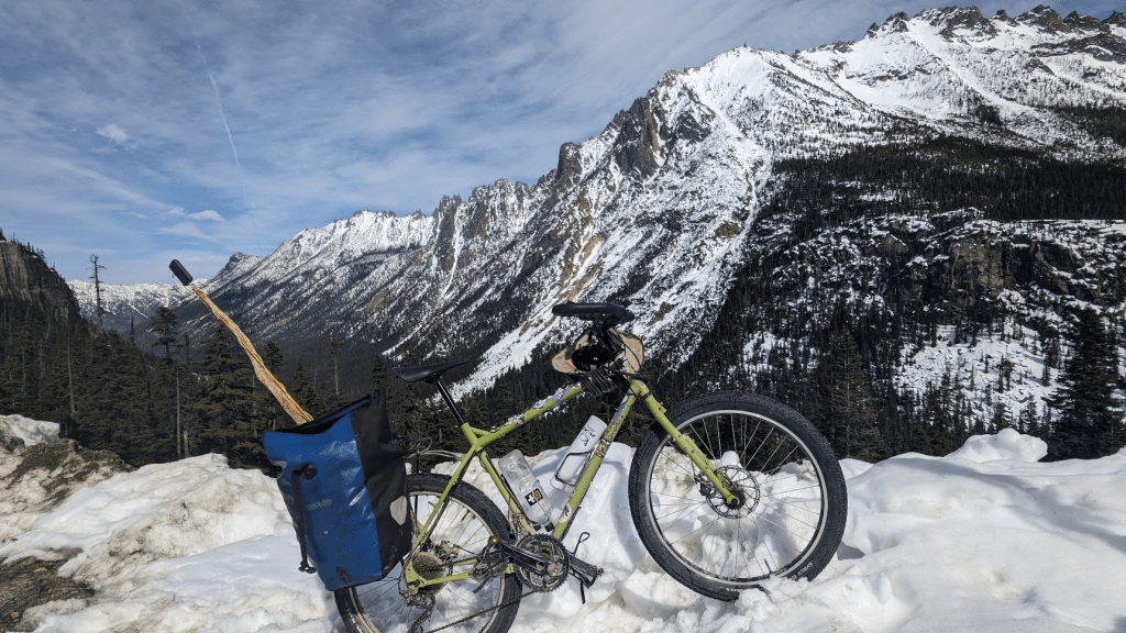
I rode from Diablo Lake Lookout to Washington Pass.
I shot time lapse 360 images (Insta360 X2) while recording GPS coordinates (Komoot on Android).
Then I combined them into an interactive UI (mini demo screen recording in this post’s video).
Granted, it’s a little hard to watch 1 frame per second on a shaky, beat up old 360 camera.
The line traced out corresponds to the location in the video. Tilt and pan are adjustable on both video and map, independently (for now). The 360 video sometimes pans on its own, esp. in the beginning. This particular camera has spent many miles in a handlebar bag and I think it’s gyro is suffering for it.
The resolution on the video seems to default to low. Looks a lot better after turning it up, which might be easier said than done if viewing with a phone.
Interactive UI: https://jeremycalvert.com/mapTube.html?route=car_free_sr20
Komoot Tour: https://www.komoot.com/tour/1515934645

Leave a comment